Stirchley Floods by Judith Jones
My walk from the railway bank at the end of Beilby Road to Cartland road proved to be a wet one!
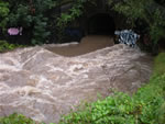
I hope you like the photos I took, starting from the culvert through the railway bank,
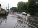
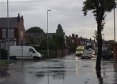
onwards to Fordhouse Lane bridge, with water across the road.
Rock well, as was, is totally flooded, water draining on to the footpath, and into the river.
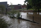
The next bridge by the industrial estate, only just clearing the water, with a view towards the play area.
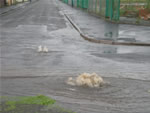
The new Tesco’s(?) will have its own fountain courtesy of Severn Trent,
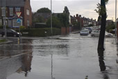
further down another drain effervescing on to Ripple road, a shot of the houses in the lower end of Ripple
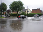
and another of Cartland junction by the lights.
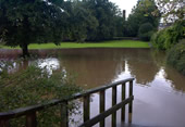
Back into the park the river creeping towards the play area, the picnic benches looking precarious perched at the edge of the water. |
Bond Street / Ribblesdale Road area by Mags Scorey
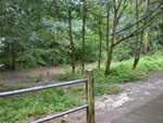
Stirchley Park
behind the Co-op
Stirchley Park
behind the Co-op
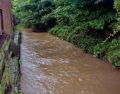
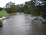
River Rea
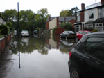
Bond Street
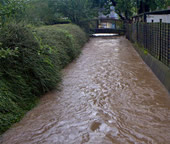
River Rea
Bond Street
Umberslade Road
Ribblesdale Road
Umberslade Road
Ribblesdale Road
|


